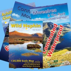


Achill & Corraun ~ Clare Island
€14.99 – €65.00
Description
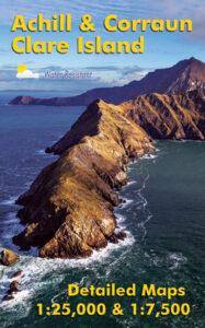
Definitive detailed map of Achill & Corraun at 1:25,000 scale combined with a very detailed map of Clare Island at 1:7,500 scale.
Covers Achill Island and the Corraun peninsula, overlapping with our Wild Nephin map at Mulranny. Depicts this popular region in very considerable detail for the benefit of both visitor and local alike. We have conducted considerable research into local placenames and many names are recorded on a map here for the first time. Printed on good quality Enduro 100 gsm paper. Water resistant and tear resistant, read care instructions in FAQ. Published August 2016.
Available in folded or flat versions, select which you want above.
Folded version: standard version and measures 125mm x 205mm
Flat version: measures 820mm x 1375mm. A signed flat version of our detailed map of Achill & Corraun ~ Clare Island. You’ll receive one flat copy of the map with a certificate of authenticity, signed and numbered by the cartographer Barry Dalby.
This will be of interest to those requiring a display copy. It will also appeal to customers who appreciate the research work of EastWest Mapping and would like to see further mapping developed. Compiling a map of this nature is a time consuming and expensive business and we have received no public funding towards the development of this map. This flat map measures 820mm x 1375mm and is packaged in a postal tube. Please note this map is printed on both sides.
Related products
-
-
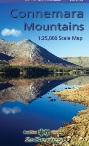
Connemara Mountains
- €14.99 – €65.00
- View products
-
-
-
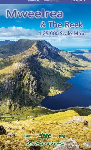
Mweelrea & The Reek
- €14.99 – €65.00
- View products
-
-

-
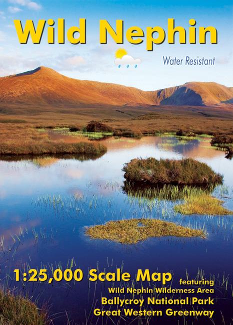
Wild Nephin
- €11.00 – €65.00
- View products
-
-

-
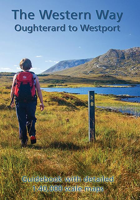
The Western Way
- €9.00
- Add to basket
-