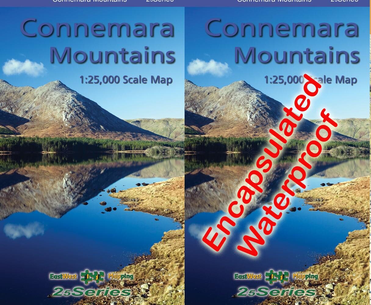
Connemara Mountains Map
I’m happy to advise that our new Connemara Mountains 1:25,000 is now available. Covid19 has delayed publication by over two months but better late than never!
Definitive detailed map at 1:25,000 scale covering the Twelve Bens, Maumturk Mountains, Killary Harbour and region. Produced to our 25Series standard, this general topographic map has a 5 metre contour interval for fine navigation. Signposted walking trails are depicted. The finest and most detailed of several maps published of this popular region. Printed on good quality Progeo 90gsm map paper. The map sheet measures 1125mm x 820mm, covering 550 sq kilometres and is folded down to 125mm x 205mm. Surveyed & published 2020.
The Connemara Mountains map is now available from https://eastwestmapping.ie/product/connemara-mountains/. Please choose from the following options:
Standard Paper Folded – good for indoor planning, needs protection for outdoor use.
Waterproof Encapsulated Folded – tough & durable for outdoor use.
Digital – running on EastWest Maps phone app for Android and Apple devices. Purchase via in app purchasing on app. €14.99 covers an additional 100 sq kilometres
Bundle offer of above three forms – paper, waterproof and digital.
In addition, we have a small number of c 20 flat map editions for wall mounting etc. These are available as a limited Flat Map Set. Please note that pre publication purchases of above will be filled first. If you didn’t pre order, these are sold on a ‘first come, first served basis’. In the event that you are 20+ on the list, we’ll refund €56 if we can’t supply the flat map to you.
Thanks for your custom and support and I trust you’ll get many years use and enjoyment from this new map of the region 😊