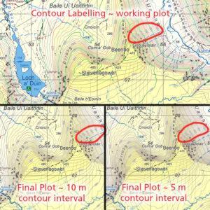
Contour Labelling
All text on a topographic map potentially obscures useful detail underneath, whilst adding usefulness. Placename text is positioned first, then Grid Labels, followed by Spot Heights and finally Contour Labels…

All text on a topographic map potentially obscures useful detail underneath, whilst adding usefulness. Placename text is positioned first, then Grid Labels, followed by Spot Heights and finally Contour Labels…
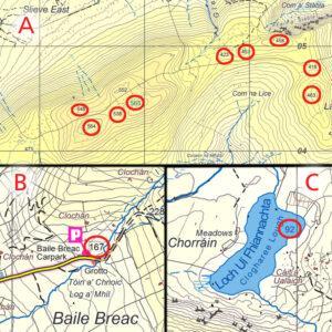
Inserting spot heights is a stage in map production, these are measured from a digital surface model with an accuracy of +/- 0.5 metre on open terrain. Spot heights are…
The one kilometre square grid used on EastWest Mapping maps is based on Irish Grid, one of our two national grid projections. This came to be used on Irish maps…
Logainmneacha ó Chontae Chiarraí I’ve been working through the mapped and written placename material for Corca Dhuibhne, roughly the Dingle peninsula. There are multiple sources including OS fieldwork records, the…
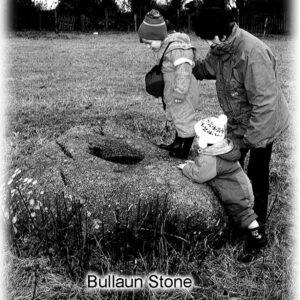
Bullaun Stones, often pronounced bull-yawn, are common enough field monuments found particularly along the east coast and hinterlands. Often of granite rock with a pronounced unnatural hole or depression in…
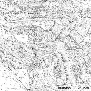
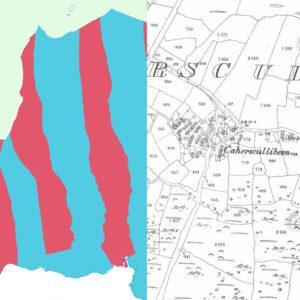
Brandon OS 25 Inch This extraordinary piece of cartography comes from the Ordnance Survey 25 Inch or 1:2500 scale series compiled in the late 19th & early 20th century. It…
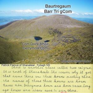
I’ve been reading through the Schools Collection for the greater Dingle peninsula to see what placenames were recorded there in the 1930s. As usual with this collection, the amount of…

The Carlow Walking Festival takes place over the last weekend of the month – from 30th September to the 2nd October. There will be a variety of hillwalks and rambles…
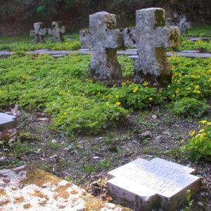
The German War Cemetery is located in an old quarry near the Glencree Centre at the top of the Glencree valley in Co.Wicklow. If you’re passing by, it’s well worth…
The townland in rural Ireland is a core part of identity, it’s a form of local address and place. Townland, parish & county to some extent define people. There’s a…